

Planning a trip to China can feel overwhelming when you first look at a map of china provinces. The short answer: mainland China is organized into 34 provincial-level administrative regions, and for travelers these are most usefully grouped into eight geographic zones: North China, Northeast China, East China, Central China, South China, Southwest China, Northwest China, and the Qinghai-Tibet Plateau. Each zone has its own climate, food, and signature destinations, and the expanding high-speed rail network makes hopping between them far easier than the size of the country suggests. This guide walks you through the regions, the cities worth your time, and how to string them together into a smooth itinerary.
If you want a wider framework before you dive into individual provinces, start with our China travel guide for first-timers, which explains visas, payment apps, and the basics of getting around.
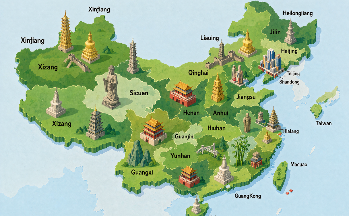
Understanding the China Map
A clear china map is the foundation of any good trip. China spans roughly 9.6 million square kilometers, stretching from the temperate northeast to the tropical south and from the Pacific coast deep into the high plateau of the west. When you read a map of china, the first thing to notice is that administrative units are not equal in size or status. There are provinces, autonomous regions, municipalities directly under the central government, and special administrative regions, each with a different level of local authority but all part of one country.
For travel planning, however, the administrative distinctions matter less than the geographic ones. The eight zones below are how Chinese travelers and the tourism industry actually think about the country, and they map neatly onto logical routes.
How Many Provinces Are There in China?
China has 34 provincial-level administrative divisions in total. These break down into 23 provinces, 5 autonomous regions, 4 municipalities directly under the central government, and 2 special administrative regions. For visitors, the useful takeaway is simpler: most of the country is divided into provinces, a handful of regions are designated autonomous (largely for ethnic minority areas), a few mega-cities govern themselves, and Hong Kong and Macao operate as special administrative regions of China with their own legal and travel systems.
When you plan a route, you rarely need to memorize the exact count. What helps is knowing which zone a destination belongs to so you can cluster nearby places and minimize backtracking.
What Are the Main Regions of China?
The eight travel regions are the easiest mental model of the china map. North China centers on Beijing and the capital belt. Northeast China covers the old industrial heartland and border cities. East China holds the richest coastline and most famous classical sights. Central China is the agricultural and transport crossroads. South China is subtropical and Cantonese-led. Southwest China is mountainous and ethnically diverse. Northwest China is dry, historic, and Silk Road country. The Qinghai-Tibet Plateau is the high, spiritual west.
North China
North China is where most first-time visitors land, because Beijing is the main international gateway. The region includes Beijing municipality, Tianjin municipality, Hebei province, Shanxi province, and the Inner Mongolia Autonomous Region.
Beijing itself needs little introduction, with the Forbidden City, the Summer Palace, and easy day trips to the Great Wall. Tianjin, just half an hour away by train, offers European-style riverfront architecture. Hebei wraps around the capital and holds sections of the wall at Shanhaiguan and Chengde’s mountain resort. Shanxi is a treasure for history lovers, with the ancient city of Pingyao and the Yungang Grottoes. Inner Mongolia draws travelers with vast grasslands and the edge of the Gobi.
Northeast China
The Northeast, sometimes called Dongbei, includes Liaoning, Jilin, and Heilongjiang provinces. This is China’s rust belt transformed into a winter wonderland. Harbin in Heilongjiang is famous for its ice and snow festival, while Changchun and Shenyang carry fascinating modern history. In autumn the forests of Jilin turn brilliant red, and the region’s Russian and Korean border influences show up in its food and architecture.
East China
East China is the most visited zone after the capital, and it is where you find some of the china cities that define the country’s global image. It includes Shanghai municipality, Jiangsu, Zhejiang, Anhui, Fujian, Jiangxi, and Shandong provinces.
Shanghai is the obvious anchor, a skyline city with superb museums and food. Nearby, Hangzhou and Suzhou in Zhejiang and Jiangsu showcase classical gardens and West Lake. Fujian offers the Hakka earth buildings and the coastal city of Xiamen. Shandong blends Confucius heritage in Qufu with the seaside of Qingdao. This region is also the best place to experience the high-speed rail at its densest and most reliable.
Central China
Central China connects the north and south and includes Henan, Hubei, and Hunan provinces. Henan is the cradle of Chinese civilization, with Luoyang’s Longmen Grottoes and the Shaolin Temple. Hubei’s capital Wuhan sits at the crossing of major rivers and rail lines, making it a natural transit hub. Hunan, centered on Changsha, is known for spicy food and the spectacular scenery around Zhangjiajie, whose sandstone peaks inspired floating-mountain imagery in film.
South China
South China is warm, coastal, and Cantonese in character. It includes Guangdong province, the Guangxi Zhuang Autonomous Region, and Hainan province, plus the special administrative regions of Hong Kong, China and Macao, China.
Guangdong’s Guangzhou and Shenzhen are economic powerhouses with exceptional dim sum and night markets. Guangxi’s Guilin and Yangshuo offer the karst landscapes that have become the postcard image of rural China. Hainan is the tropical beach escape, sometimes called the Hawaiian island of China. Just across the border, Hong Kong, China remains a world city of its own rhythm, and Macao, China is known for its Portuguese heritage and entertainment. Both are easy add-ons thanks to frequent ferries and trains from the mainland.
Southwest China
Southwest China is mountainous, green, and culturally layered. It includes Chongqing municipality, Sichuan, Guizhou, and Yunnan provinces.
Chongqing is a sprawling megacity famous for hotpot and dramatic riverside topography. Sichuan’s Chengdu is loved for pandas, teahouses, and the gateway to Jiuzhaigou. Yunnan is the most diverse travel province, with the old towns of Lijiang and Dali, the rice terraces of Yuanyang, and the border city of Xishuangbanna. Guizhou is rising fast among travelers for its karst caves, Miao minority villages, and the world’s largest radio telescope.
Northwest China
Northwest China is Silk Road territory: dry, historic, and visually dramatic. It includes Shaanxi, Gansu, Qinghai, the Ningxia Hui Autonomous Region, and the Xinjiang Uygur Autonomous Region.
Shaanxi’s Xi’an is essential, home to the Terracotta Warriors and the eastern end of the ancient Silk Road. Gansu’s Hexi Corridor links Dunhuang’s Mogao Caves with desert forts. Xinjiang stretches west with Urumqi, Kashgar, and the Tian Shan mountains. This is also where the great wall of china map extends far beyond the Beijing sections, with ruined earthen walls marking old frontier lines across the dry north.
The Qinghai-Tibet Plateau
The western highland, often grouped separately as the Qinghai-Tibet region, includes the Tibet Autonomous Region and Qinghai province. Lhasa draws pilgrims and travelers to the Potala Palace and Jokhang Temple. Qinghai’s capital Xining is the launching point for the world’s highest railway line, which climbs toward Lhasa. Altitude is the main planning factor here, so build in acclimatization time and check current access rules before you go.
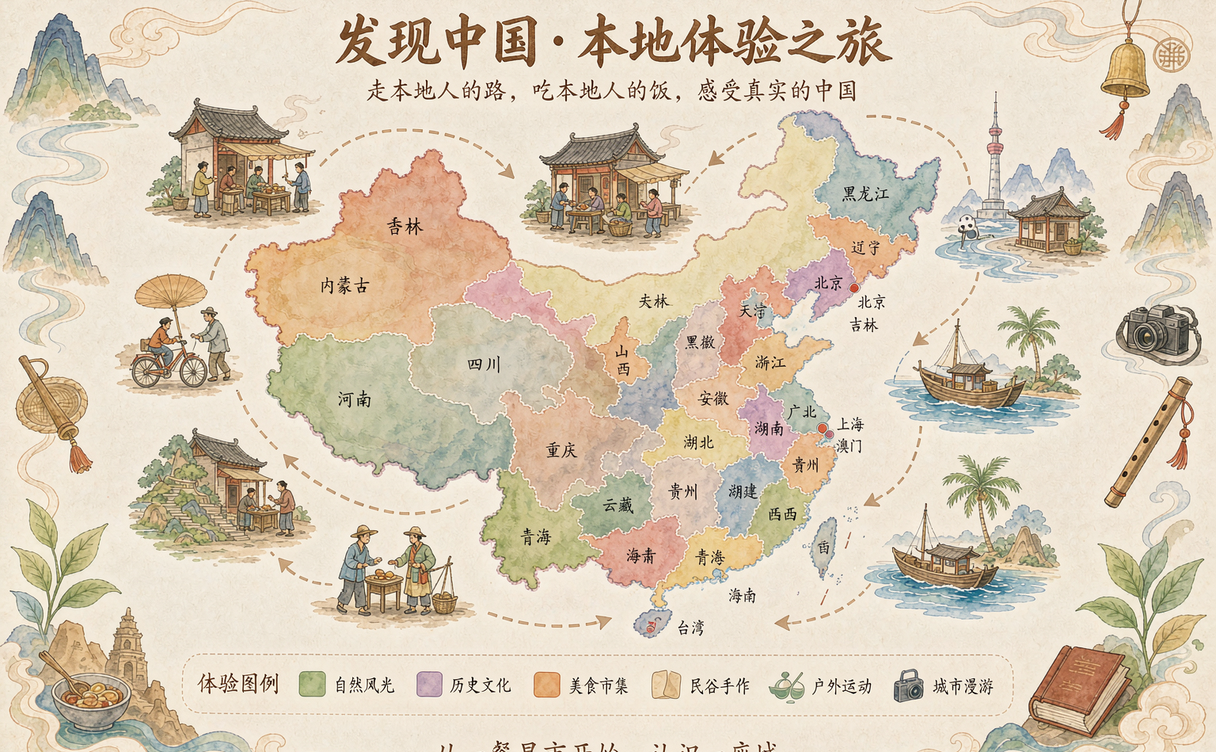
The Great Wall of China Map
No china map feels complete without the Great Wall, and understanding its spread helps you pick a section. The wall is not a single line but a series of fortifications built across northern China over many dynasties. The most restored and crowded sections sit near Beijing at Badaling and Mutianyu. For wilder hiking, head to Jiankou or the desert-edge remnants in Gansu and Ningxia. A great wall of china map shows how the fortifications tracked the old agricultural frontier, which is also roughly the boundary between the lush southeast and the steppe northwest.
China Cities and Chinese Cities to Know
Beyond provinces, it helps to fix a short list of anchor chinese cities in your mind. Beijing and Shanghai are the two global hubs. Chengdu, Xi’an, Guilin, Hangzhou, and Kunming are the regional stars that most itineraries orbit. Guangzhou and Shenzhen anchor the south, while Harbin and Shenyang define the northeast. Knowing these china cities lets you build a route around well-connected rail junctions rather than isolated stops.
For ideas on what to actually do once you arrive, see our guide to the best things to do in China, and for timing your visit, our best time to visit China explainer breaks down weather and crowds by season.
Traveling Between Regions by High-Speed Rail
The single biggest change to travel in China over the last decade is the high-speed rail. The network links nearly every provincial capital and makes cross-province travel fast and comfortable. You can breakfast in Beijing, reach Xi’an by early afternoon, and be in Chengdu the next morning, all on clean, punctual trains.
If you are coming from abroad, the system can look intimidating, so our high-speed train guide for foreigners walks through booking, ID requirements, and seat classes. Pair that with our Chinese food guide to the 8 cuisines and you have both the movement and the meals sorted for a multi-region trip.
Plan your multi-region trip now. Download a regional china map and sketch two neighboring zones you can connect by one train ride.
Practical Planning Tips
When you read any map of china provinces, remember that distance is deceptive. Provinces that look close on the map can still be a full day apart by road, while the rail network compresses travel time dramatically. Cluster your trip by zone, keep one or two hub cities as bases, and let the train do the long hauls. Also note that weather varies enormously by region and season, so coordinate your route with the climate of each zone rather than assuming one packing list fits the whole country.
Start building your route today. Pick a hub city from this guide and check train times to its nearest neighboring province.
Conclusion
A map of china provinces is more than lines on paper: it is a menu of experiences, from the walled capitals of the north to the rice terraces of the southwest and the high plateau of the west. With 34 provincial-level regions grouped into eight travel zones and a high-speed rail system that ties them together, China is far more navigable than its size suggests. Choose a region that matches your interests, add one neighboring zone, and let the train carry you between them.
Ready to go deeper? Open our China travel guide for first-timers and turn this map into a booked itinerary.
For the official administrative breakdown, see the Administrative divisions of China on Wikipedia.